PeakVisor - 3D Maps & Peaks Identification
by Routes Software SRL
Version 10,000+
📅 Updated May 20, 2022
Whats the name and the altitude of that mountain? Find out with PeakVisor!

Features PeakVisor - 3D Maps & Peaks Identification
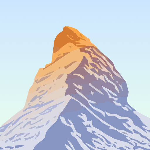
PeakVisor will make you a superhero of outdoors navigation by putting state-of-the-art 3D maps and mountain identification in the palm of your hand.nn"PeakVisor is a seemingly magical app that instantly recognizes the name of any mountain peak that comes into view using a combination of your phone’s camera" - Atlas & Bootsnn"A lovely little app that uses your phone’s camera and the power of augmented reality to identify any mountain you aim the camera at." - Digital TrendsnnKey Features:nn● Mountains IdentificationnIdentify more than a million hills & mountains all over the world and get a detailed profile for each one of them, including altitude, topographic prominence, mountain range, what national parks or reserves it may belong to, as well as photos and Wikipedia articles.
It is one of the most useful Augmented Reality technology applications on the market today.nn● 3D MapsnGet your topo maps of the future.
Cutting edge technology with high-precision terrain modeling allows simple, yet effective insight into the landscape of the mountains.
It is the most convenient way to explore a mountainous area, its trails, summits, passes, viewpoints, and even parking areas.nn● Hiking Route PlannernA vast network of worldwide hiking trails and walking pathways included in PeakVisor’s 3D Maps will help you compose a hiking route, which includes, evaluating the distance you can expect to hike, as well as a route’s elevation profile, and estimated time for completion.
To help you plan your route we’ve included points of interest in our 3D Maps such as mountain huts, parking lots, cable cars, viewpoints, castles, etc.nn● Everything works OfflinenInternet connection is not a prerequisite for the PeakVisor app.
All the data is downloadable and ready for use no matter where you are or what altitude you might be at.nn● Identifying Mountains in PhotosnIf you have photos from previous hikes that you did not take through the app, you can still find out what peaks you saw by download your images into the PeakVisor app and adding a digital overlay of the mountains with names and altitudes of all the peaks in view.nn● Photo PlanningnPeakVisor’s Sun and Moon trajectories come super handy when planning the perfect time to take pictures.nnPeakVisor is the Swiss army knife of outdoor adventure and will soon be indispensable to you future hiking needs.
Just keep it in your backpack and youll get value from it every time you’re on the trail!nnIf you have any questions or just feel like talking about mountains, please contact us at [email protected]
Social Features
Connect and share with friends and the community.
Camera Features
Advanced camera features with editing capabilities.
Food & Dining
Discover recipes and order food from your favorite restaurants.
See the PeakVisor - 3D Maps & Peaks Identification in Action


What Our Users Say
Don't just take our word for it. Here's what our users have to say about our Android app.
"Was previously using View Ranger which was far superior. This app claims functionality without a signal but this isn't accurate. You must DL the area in advance for it to work. Even with a signal, you have to wait on the DL & use data to identify a peak. Too slow of a process during a hike."
Willie S
"Changed my rating. Didn't realize you guys are actually including smaller peaks like that."
Pavel Shemyakin
"Useless on Android ; too many flaws."
Roland Paingaud
"I use Gaia for the trails themselves, but this will be an invaluable app for discovering new areas and I'm really thrilled!"
Christopher Burk
"Awesome. I iften ask locals about the names of peaks, few know them. Thanks!"
Mark Eikost
"The iOS version of this app is so much better. Android ones doesn't work as good."
Rok Hladnik
"Excellent app. Keep it up"
AbdulRahman Mokha
"The app was ok, I can identify those peaks after some manual adjustments. The more annoying part is I can't seem to check in on the peaks I was submitting, even when I'm on the peak. GPS problem I presume?"
Haady Othman
"It worked ONCE. After that, it never worked accurately again. Huge waste of $5"
Kellye Hancock
"Need more improvement. Should add elevation above ground feature."
Antarjoy Deb
Get the App Today
Available for Android 8.0 and above